
Know the water before you launch.
wæking is navigation made for personal watercraft. It checks depth, tide, weather and slow zones for your ride, then stays with you turn by turn.
Riders are testing it now around Marco Island and Wiggins Pass.
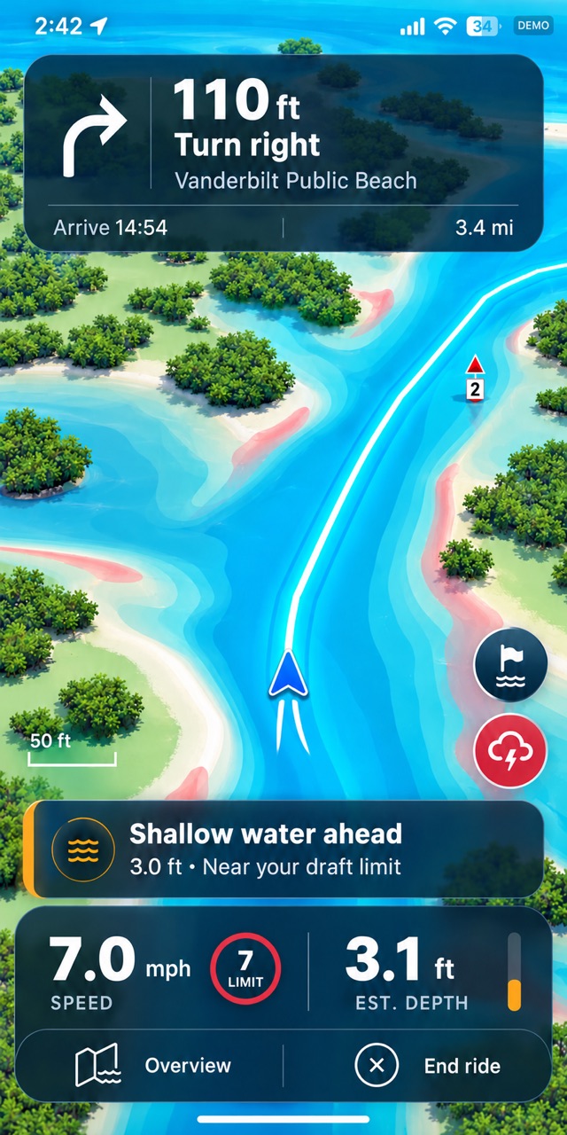
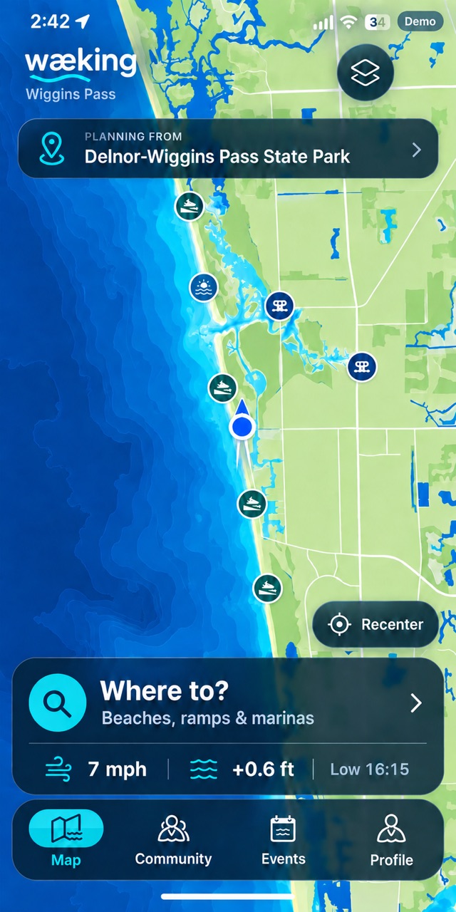
wæking is navigation made for personal watercraft. It checks depth, tide, weather and slow zones for your ride, then stays with you turn by turn.
Riders are testing it now around Marco Island and Wiggins Pass.


Plan
Choose where you want to go and when. wæking works out the route a PWC can really take and tells you whether it is a good time to go.

Ride
On the water your phone is mounted, wet and in full sun. So everything is big, bright and where you expect it.

Weather
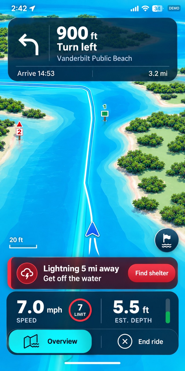
wæking watches radar, lightning and marine warnings around you for the whole ride, and says so plainly when it is time to head in.
Every ride
Charted depth with the tide at the time you pass, against what your craft draws.
Idle and slow-speed zones, manatee areas and swim beaches along the way.
The forecast for your hours on the water, and what is on the radar right now.
Sunset, so the ride home is planned before dark.
Where
Each riding area is mapped for small craft, down to the channels between the mangroves. More of the coast is on the way.
Get the app
wæking is in testing and not in the stores yet. Want to try it early, or have a question? Write to support@waeking.com.